Interested in hiking Horseshoe Bend, Arizona? Here are my first-hand tips on how to hike Horseshoe Bend!
I have visited Horseshoe Bend on my amazing USA southwest road trip. And here I am going to explain how to see Horseshoe Bend.
Before heading on to how to visit Horseshoe Bend and how to do an amazing Horseshoe hike, let’s start with some essentials: What is Horseshoe Bend? Where is Horseshoe Bend? How to get to Horseshoe Bend?
- TIPS FOR HIKING HORSESHOE BEND
- What is Horseshoe Bend?
- Where is Horseshoe Bend, Arizona?
- How to get to Horseshoe Bend?
- Horseshoe Bend Hike
- Best time for taking Horseshoe Bend photos
- Is Horseshoe Bend free?
- Do you need a tour of Horseshoe Bend?
- Additional tips for hiking Horseshoe Bend
- The best month to visit Horseshoe Bend
- Best time to visit Horseshoe Bend: Horseshoe Bend Hours
- Where to stay for visiting Horseshoe Bend, AZ?
- What is the closest airport to Horseshoe Bend?
- Things to do near Horseshoe Bend
- Horseshoe Bend map
TIPS FOR HIKING HORSESHOE BEND
THIS POST MAY CONTAIN COMPENSATED LINKS. PLEASE READ MY DISCLAIMER FOR MORE INFO.
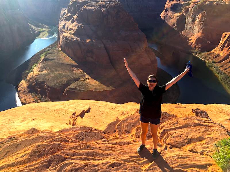
What is Horseshoe Bend?
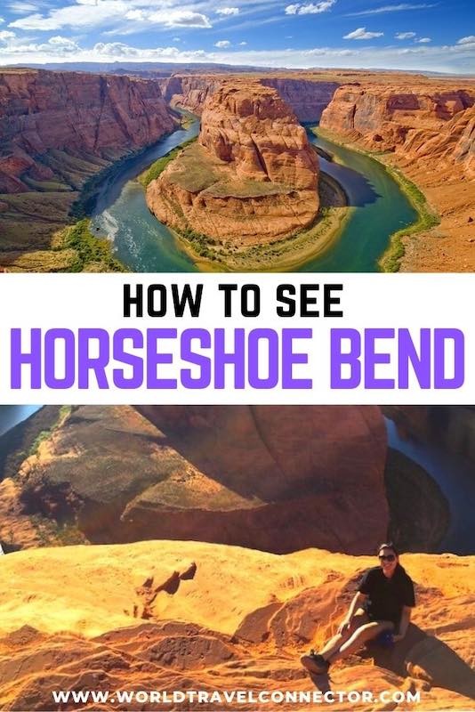
Horseshoe Bend is a majestic meander of the Colorado River in the shape of a horseshoe. Spectacular Horseshoe Bend has been created by water and wind erosion of the rocks over millions of years.
Horseshoe Bend is a true masterpiece of nature. Believe me, words and photos don’t do justice to it at all!
Where is Horseshoe Bend, Arizona?
Horseshoe Bend is located near the town of Page in Arizona USA. More accurately, Horseshoe Bend is located 4 miles (6.4 km) southwest of Page in Arizona.
How to get to Horseshoe Bend?
Directions to Horseshoe Bend:
From Page to Horseshoe Bend: Horseshoe Bend is located 4 miles south of Page via US-89. Driving 4 miles south via US-89, the Horseshoe Bend Overlook sign will appear. And, the parking area for the Horseshoe Bend overlook will be just a turn right.
In short, Horseshoe Bend from Page is reachable in a 10-minute drive.
From Glen Canyon Dam to Horseshoe Bend: Horseshoe Bend is 5.1 miles south of Glen Canyon Dam via US-89 (passing by the outskirts of Page).
From Flagstaff to Horseshoe Bend: Coming from Flagstaff to Horseshoe Bend, drive north on US-89 to Page. The Horseshoe Bend Overlook sign will appear 4 miles before Page.
Or speaking about time, Horseshoe Bend from Flagstaff is reachable in a 2-hour drive.
□ Find the best flights to Flagstaff via SkyScanner.net
□ Rent a car at Flagstaff Pulliam Airport (FLG) and enjoy the drive through Arizona from Flagstaff to Horseshoe Bend
From Phoenix to Horseshoe Bend: Drive north via US-89 in the direction of the city of Page. The distance between Phoenix and Page is about 130 miles. In other words, a 4-5 hour drive from Phoenix to Horseshoe Bend. The Horseshoe Bend Overlook sign will appear 4 miles before the city of Page on your left side.
□ Find the best flights to Phoenix via SkyScanner.net
□ Rent a car at Phoenix Sky Harbor Airport or Phoenix-Mesa airport and enjoy the drive from Phoenix to Horseshoe Bend.
From Las Vegas to Horseshoe Bend: go northeast on I-15 in the direction of Mesquite, St. George, and Washington (UT). After the town of Washington, take Exit 16 to UT-9. Be careful, near the town of Hurricane (UT), UT-9 changes into UT-59. Go forward. Near Colorado City (AZ) UT-59 becomes AZ-389. In Fredonia (AZ) take AZ-89A to North Kanab (UT). From Kanab (UT) go east via US-89 toward the town of Page (AZ). Pass the town of Page and the Horseshoe Bend Overlook sign will appear between Mile Marker 544 and 545, 4 miles after the town of Page. To summarize, the distance between Las Vegas and Horseshoe Bend is about 280 miles. Horseshoe Bend from Las Vegas is reachable in a 4-5 hours drive.
□ Find best flights to Las Vegas via SkyScanner.net
□ Rent a car at Las Vegas-McCarran Airport and drive from Las Vegas to Horseshoe Bend
Horseshoe Bend Hike
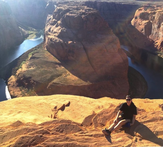
The Horseshoe Bend hike goes from the Horseshoe Bend parking lot to the Horseshoe Bend overlook. The hike is 3/4 (0.75) miles long, or in other words, a 1.5-mile round hike.
The hike from the Horseshoe Bend parking lot to the Horseshoe Bend overlook is easy and it takes a sandy and sandstone trail. In the beginning, the Horseshoe Bend trail is uphill a little bit. But only for short. As I said, the hike is quite easy and as soon as you reach a small gazebo, the trek goes downhill to the spectacular Horseshoe Bend overlook.
And although the hike is not difficult and you can do it in simple sandals and even flip-flops, I would strongly advise you to hike Horseshoe Bend in good hiking shoes or good sneakers as you need to be especially cautious on the Horseshoe Bend vista cliffs.
To tell the truth, the Horseshoe Bend hike is a cakewalk. The trail was recently renovated and it is now even wheelchair accessible! And thank heavens, even some shade constructions are made along the trail!
The views of Horseshoe Bend from the overlook are out of this world!
Believe me, you will be curious to see it in all its glory. You will be stunned by Horseshoe Bend’s magnificence!
But, please don’t go to the edges of the cliff as there is no fence along. In a second, an accident can happen.
Best time for taking Horseshoe Bend photos
The best time for taking photos of Horseshoe Bend is in the late afternoon as the lighting is the best in late afternoon hours.
Is Horseshoe Bend free?
Visiting Horseshoe Bend is free.
But if you come by motorcycle, car, RV, or van, you should pay the Horseshoe Bend parking fee.
Horseshoe Bend parking fee:
□ Motorcycle: 5 USD
□ Car or RV: 10 USD
□ Commercial Van/Bus: (with up to 14 passengers) 35 USD
□ Commercial Bus: (with 15-35 passengers) 70 USD
□ Commercial Bus: ( with over 35 passengers) 140 USD
Do you need a tour of Horseshoe Bend?
You don’t need to take a tour to visit Horseshoe Bend. You can hike Horseshoe Bend on your own. Unlike Antelope Canyon where guided tours are compulsory!
Additional tips for hiking Horseshoe Bend
Arizona is an all-year-round warm destination with July as the hottest month of the year. The temperatures average from 90°F (32.2°C) to 120°F (48.9°C) and in July from 81°F (27.2°C) to 112°F (44.4°C).
Therefore, take a portable bottle of water to stay well-hydrated during your Horseshoe Bend hike!
Most likely, you will enjoy many outdoor activities in Arizona. There is no doubt, besides hiking Horseshoe Bend you will also want to hike Antelope Canyon in the area. Visiting Horseshoe Bend and Antelope Canyon in the same pack is a very popular option! Additionally, hot Arizona comes with hot sand! Therefore, forget sandals for hiking Horseshoe Bend and go for good hiking shoes!
Warm destinations like Arizona seek light clothing. Good lightweight cargo pants with many large patch pockets on the side are just outdoor perfect!
Protect yourself against the heat. Go for a good hat and a good sunscreen!
Unquestionably, you will want to take as many photos as possible. A good camera is essential!
The best month to visit Horseshoe Bend
Horseshoe Bend and Arizona are year-round destinations because of the good weather. But, there’s Arizona Monsoon Season that goes from June to September. To avoid the possibility of rain, summer showers, and even sudden summer storms, skip the months between June and September.
Also, avoid your Horseshoe visit during major holidays in the US as they are the busiest time at Horseshoe Bend, Arizona.
Best time to visit Horseshoe Bend: Horseshoe Bend Hours
Horseshoe Bend Overlook is open 24 hours a day all year round.
But the busiest time is between 9 -11 am and 4.30 – 6.30 pm. If you want to hike Horseshoe Bend and enjoy the views of Horseshoe Bend in a less crowded atmosphere, avoid the rush hours.
Where to stay for visiting Horseshoe Bend, AZ?
There are no Horseshoe Bend hotels. As I said, the nearest town to Horseshoe Bend is Page.
But, luckily Horseshoe Bend is only a 10 min drive from Page.
Here are my recommended hotels in Page AZ: Baymont by Wyndham Page Lake Powell, Hyatt Place Page Lake Powell, Country Inn & Suites by Radisson, Wingate by Wyndham Page Lake Powell
What is the closest airport to Horseshoe Bend?
The nearest airport to Horseshoe Bend is Page Municipal Airport. It s located only 1 mile east of Page with daily flights to Phoenix and Las Vegas.
Page Municipal Airport is served only by Contour Airlines (Page Municipal Airport – Phoenix Sky Harbor Airport), Linear Air (Page Municipal Airport – Las Vegas Henderson Sky Harbor), and Grand Canyon Airlines (Page Municipal Airport – Grand Canyon National Park Airport)
The nearest bigger airports to Horseshoe Bend in Arizona are Phoenix Sky Harbor International Airport and Phoenix-Mesa Gateway Airport in Arizona and Las Vegas McCarran International Airport in Nevada.
Phoenix and Las Vegas are both located 4-5 hour drive from Page and Horseshoe Bend.
Rent your car at Las Vegas-McCarran Airport, at Phoenix Sky Harbor Airport or at Phoenix-Mesa airport, enter the Horseshoe Bend address (GPS coordinates W 36-52-34.1 N 111-30-38.25), head to Horseshoe Bend, and enjoy your time visiting Horseshoe Bend!
Things to do near Horseshoe Bend
What else you can do in the area besides hiking Horseshoe Bend?
Here are the top attractions near Horseshoe Bend and some of the best things to do near Horseshoe Bend :
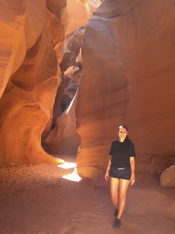
□ Hike Antelope Canyon: Surreal Antelope Canyon is about 15 15-minute drive from Horseshoe Bend.
Recommended read: how to get from Horseshoe Bend to Antelope Canyon.
□ Go to the Lake Powel: Lake Powel is also in the area. Lake Powel is just a short drive from Horseshoe Bend.
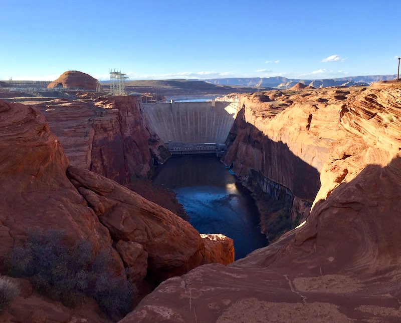
□ Visit Glen Canyon Dam: Impressive Glen Canyon Dam is about 40 min drive from Horseshoe Bend.
□ Visit Monument Valley: Monument Valey is a 2-hour drive from Horseshoe Bend.
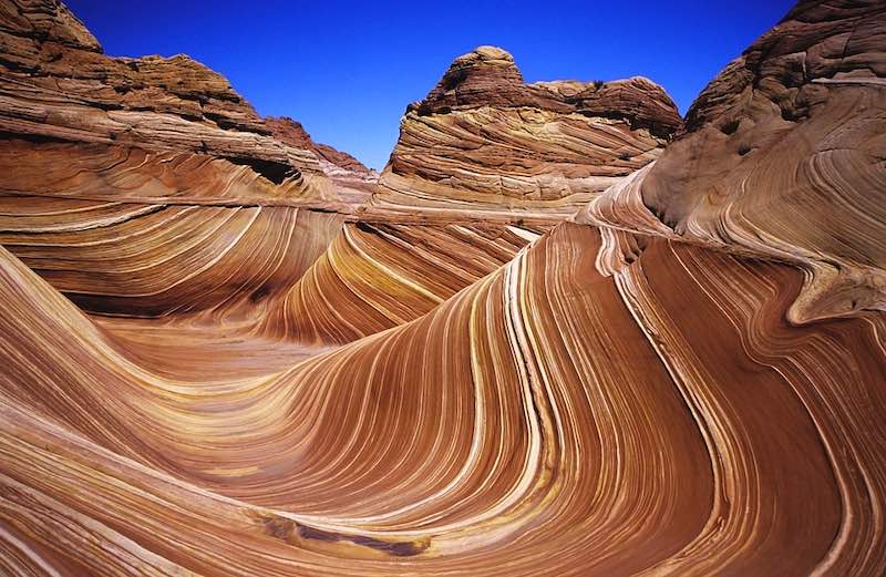
□ Visit the Wave Arizona in Coyote Buttes: The Wave in Arizona is also about a 2-hour drive from Horseshoe Bend.
□ Head to Zion National Park: Zion National Park in Utah is a little over 2-hour drive from Arizona Horseshoe Bend. If you are into hiking adventures you should definitely check out some of striking Zion’s treks like Weeping Rock Trail, Grotto Trail, and Upper Emerald Pools Trails.
Horseshoe Bend map
Map with nearby attractions where you can also find the directions to Horseshoe Bend, Arizona
Horseshoe Bend GPS coordinates: W 36-52-34.1 N 111-30-38.25


This is a great summary for a visit to Horseshoe Bend. Great photography too. I’d mention one more thing about accommodations however. I tent camped at Zion for several days & then made my way down U.S. 89 for several stops, including a late afternoon walk in to Horseshoe Bend. Many of us are tent campers or RV tourists. The Waheap campground with 112 camp sites & 90 campsites with hookups and many adjacent services is just 19 minutes away.